吉姆 JIM HOFMAN | Photography Faces & places in China
Tibet | Mt. Everest
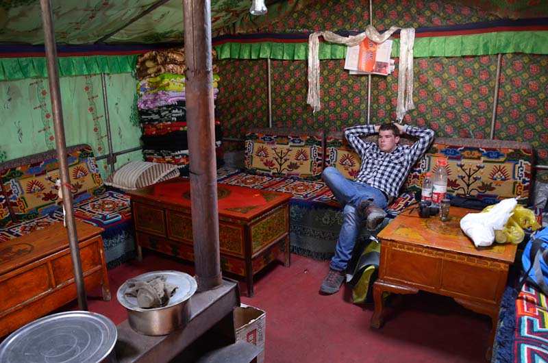
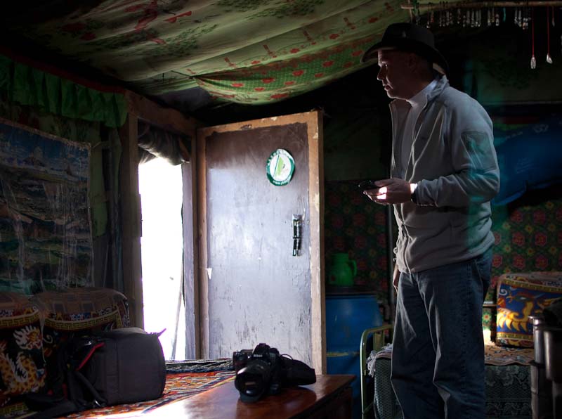
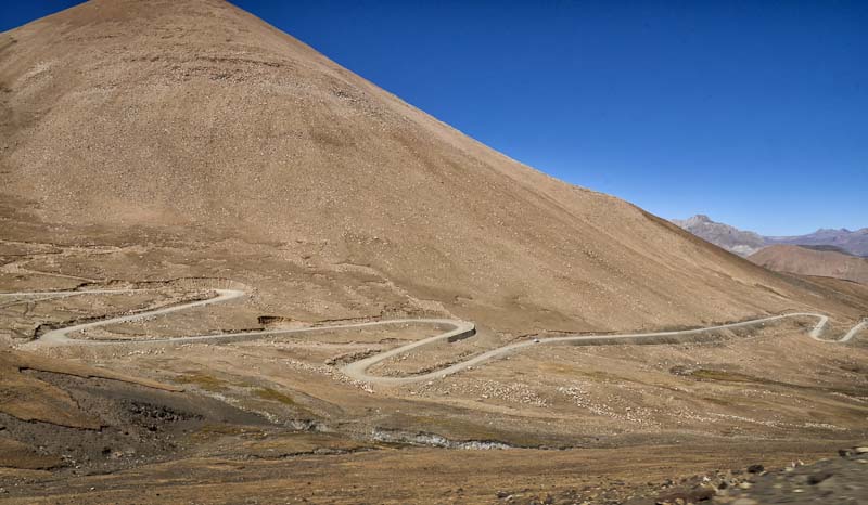
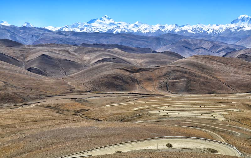
What a trip. Literally and figuratively. No altitude sickness thanks to “better living through chemistry” (Diamox pills). It took about 2 days to travel from Lhasa to Everest Base Camp (EBC). The road was not straight. Not even close. We slept in a Yak hair tent, which was surprisingly warm. It’s insulation was really tested the night we slept in it because the temperature got down to – 20 F.
The base camp for the real climbers is about 4km up the mountain from where we stayed, and is only accessible using a small shuttle bus. I was excited to use the “highest WiFi signal on the planet”, but we discovered they turn it off if no one is climbing. My son (Colin) and I decided to hike back down the 4km after visiting the (empty) base camp. The hike was both a personal challenge (not much oxygen) as well as one of the high points of the trip. We both got some great shots on the way down.
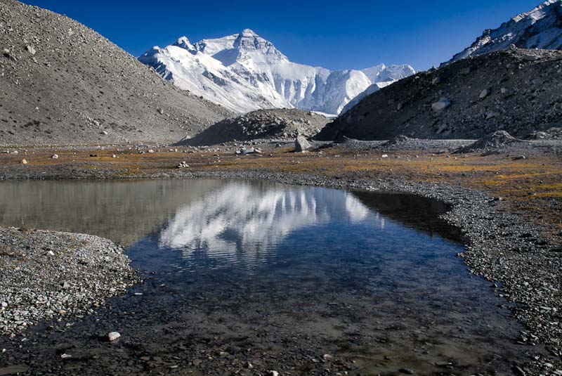
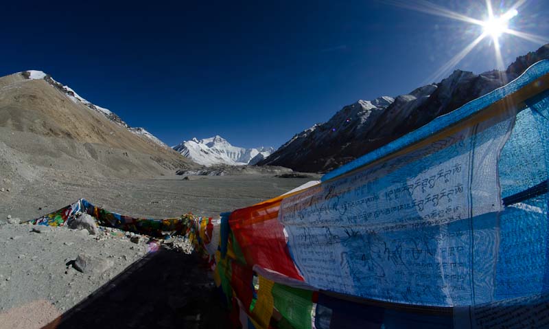
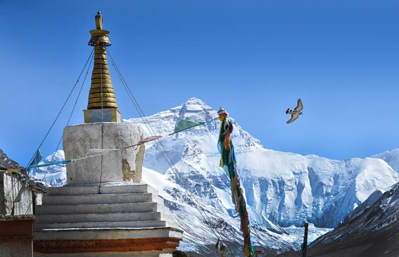
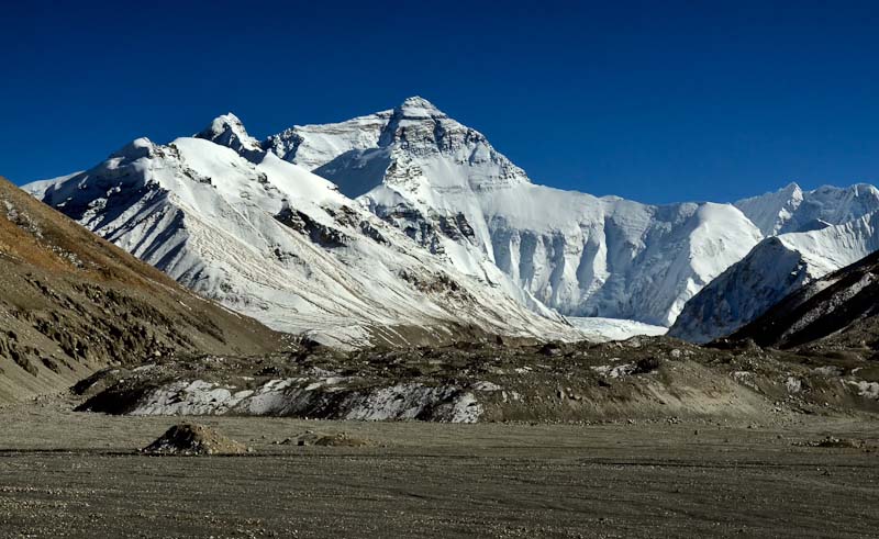
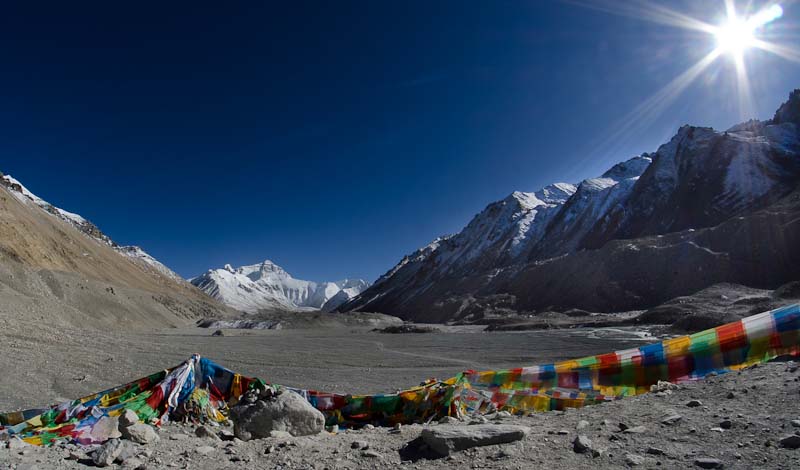
The color of the sky is really that dark. The altitude of EBC is over 3 miles above sea level and the atmosphere is pretty thin. Not much between you and outer space.
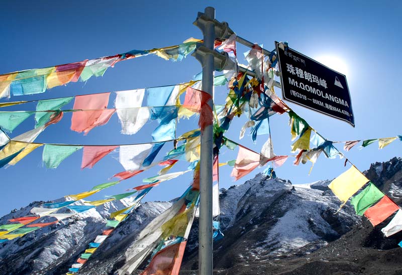
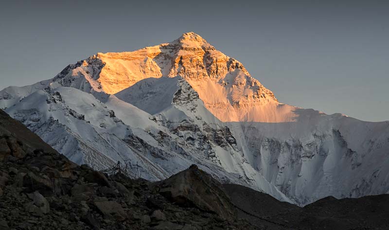
Translation: Mt. Qomolangma (Chinese) = Mt. Everest
-
- GPS Altitude = 5,117m
- Camera = Nikon D7000
- Exposure Time = 1/400″
- F Number = F18
- ISO Speed Ratings = 320
- Date Time = 2011-10-12 17:43:43
- Focal Length = 23mm
- Focal Length In 35mm Film = 34mm
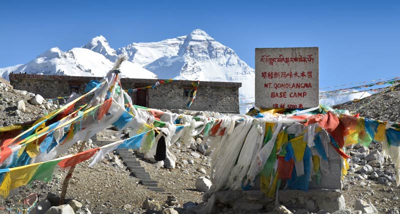
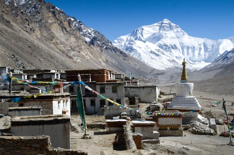
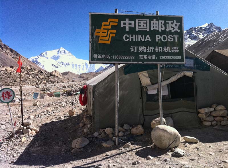
Official sign for Everest Base Camp. It will cost about US$10,000 to step past that building. You need to be a climber.
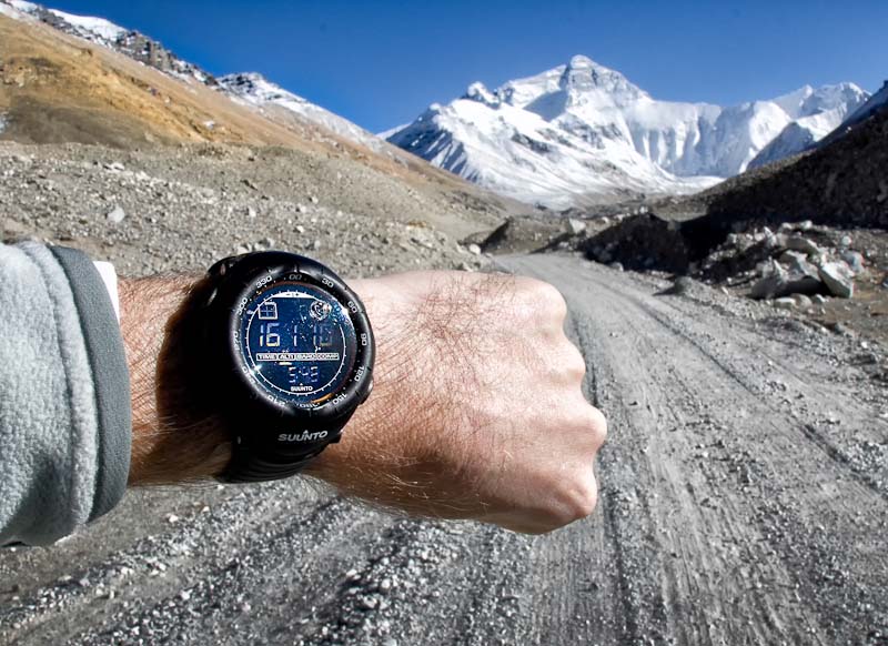
Altitude while hiking back. 16,110 feet above sea level. We started the trip at 68 ft in Shenzhen, China.
[vimeo]http://vimeo.com/31268455[/vimeo]
Hofman Travel Tips for Mt. Everest:
- – Get a prescription for Diamox. It’s a wonder drug for us low altitude flat-landers.
- – Drink LOTS of water and stay hydrated.
- – Bring equipment to clean lenses. It’s like traveling to the moon. We cleaned lenses twice a day, sometimes more often.
- – You lose your appetite in high altitudes. Bring small snacks.
- – October is one of the best months to go. July & August are the monsoon months.
- – Layer your clothes. It was 70F during the day and -20F at night. Big temperature spread.
- – Bring (and use): sun screen & lip balm. The sun will fry you quickly (right Colin?).
- – Stop to smell the roses (there are no actual roses on Everest…).
- – Sit on a rock and soak-up the vistas.
- – Take a walk without your guide.
- – Breath the clean (thin) air.
- – Look at the rocks beneath your feet.
- – Notice how strong the shadows are in the bright light.
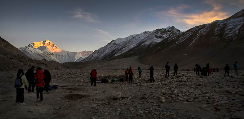
- – Watch the light change at sunrise and sunset.
- – Look at the stars at night. You will probably never see more than on Everest.
- – Quote of the trip: “How do you capture this in a photograph?” (Colin Hofman)


One Response to Tibet | Mt. Everest